• News
  • Best Guides 2026
  • Photographic Practice
  • Photography Education
  • Photography Brand Partnerships & Reviews | TheAppWhisperer
  • News
  • Best Guides 2026
  • Photographic Practice
  • Photography Education
  • Photography Brand Partnerships & Reviews | TheAppWhisperer
  • iOS Apps

    GeoJot – New Photography iOS App

    2011-07-03 / Comments Off on GeoJot – New Photography iOS App

    Turn your iPhone or iPad 2 into a photo-based field data collection tool. GeoJot geotags your photos with more accurate GPS coordinates and allows you to jot down attribute data associated with each photo such as name, condition, value, etc.. GeoJot is a companion app created for use with GPS-Photo Link, photo mapping software for the PC. Use GPS-Photo Link desktop software to extract attribute information with the geotagged photos – create printed reports, ESRI Shape Files and GeoDatabases, Google Earth maps, watermarked photos, and more. This app costs $59.95 in the App Store and you can download it here. GeoJot Features Automatically capture more accurate GPS coordinates with each…


    read more
    Joanne Carter

    You May Also Like

    LumaFusion

    Add a Funky Outline to ANY Subject in LumaFusion

    2025-12-09
    LumaFusion

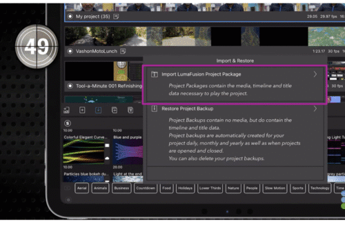
    LumaFusion – Tool a Minute: Import & Restore Projects

    2025-12-04
    Reeflex

    Reeflex Pro Camera V3: What Actually Matters in This Update

    2026-04-22

Visit our online Print Gallery

    ©TheAppWhisperer 2026
    • News
    • Best Guides 2026
    • Photographic Practice
    • Photography Education
    • Photography Brand Partnerships & Reviews | TheAppWhisperer
    Ashe Theme by WP Royal.